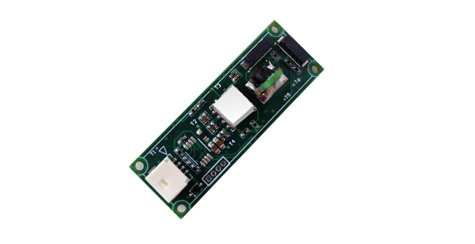
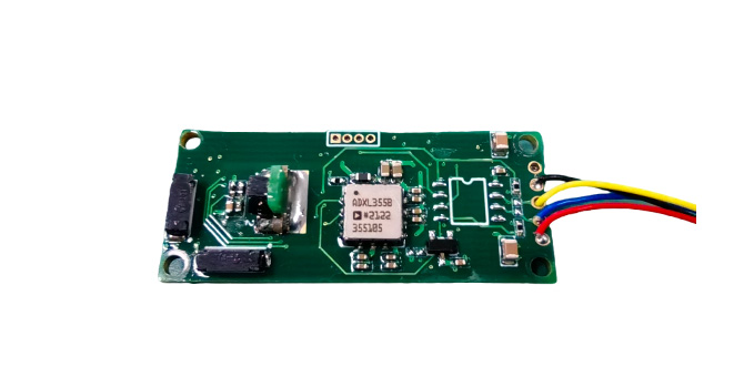
The C330 product is a high-precision, low-power digital magnetic compass independently developed by our company. It integrates a three-axis magnetic sensor, a three-axis acceleration sensor, and a temperature sensor. It adopts the self-developed spatial calibration technology and can quickly calibrate the magnetic interference that is widely present on users' equipment. After successful calibration, It can output high-precision azimuth, pitch, roll Angle, as well as temperature, three-axis magnetic field, three-axis acceleration and other data. In addition, it is equipped with a built-in geomagnetic field model that can automatically calculate the local magnetic declination based on the input longitude, latitude and time information, achieving automatic conversion between magnetic north and true north. It can provide multiple baud rates and different output modes for users to choose from. It features high precision, small size and low power consumption, and can meet users' application

Typical applications:
a. Aircraft - various fixed-wing aircraft and helicopters;
b. Ships - Various types of ships;
c. Unmanned systems - unmanned underwater vehicles (UUV), unmanned aerial vehicles (UAV), etc.
d. Handheld viewing and aiming system
e. Underwater towing cable attitude measurement system.
1、Self-developed spatial calibration technology
→ Exclusive anti-magnetic interference capability, supporting four types of calibration methods:
2、Spatial calibration (multi-point magnetic field/rotational calibration)
→ Applicable objects: Small equipment that can be tilted more than 45°
→ Accuracy guarantee: Azimuth accuracy under large tilt conditions
3、Planar calibration (planar circumferential/multi-point calibration
→ Applicable objects: Large and medium-sized equipment that cannot be tilted significantly
→ Accuracy guarantee: Azimuth accuracy under a small tilt state
(Must be fixedly installed on the user's equipment and then calibrated.)
4、True North automatic calculation
→ Built-in geomagnetic field model, input longitude and latitude + time → automatically output magnetic declination Angle → directly convert to magnetic north/true north
5、Full-posture + multi-sensor data output
→ Synchronous output:
6、Attitude angles: azimuth Angle, pitch Angle, roll Angle
7、Sensor data: Three-axis magnetic field, three-axis acceleration, temperature
8、Industrial-grade hardware design
→High precision, ultra-small size, ultra-low power consumption
→ Supports multiple baud rates/multiple output modes that can be configured

All rights reserved © Suzhou Miaohang Technology Co., LTD Filing number:Su ICP No. 19026017-
Technical support:Zhongyunshang Network