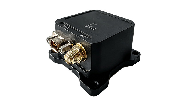
The ME760/761 integrated navigation system with external satellite receiving modules is suitable for carriers such as aircraft, vehicles, robots, and surface vehicles, and can measure information such as attitude, heading, speed, and position. The system integrates multiple sensors such as gyroscopes, accelerometers, magnetic compasses, temperature sensors, and barometers internally, and can be connected to external auxiliary information such as satellite receivers and odometers. It has good scalability. By running an enhanced extended Kalman filter to fuse inertial data with GNSS, magnetic compass and other information, extremely superior attitude and navigation data can be provided in the most challenging environments.

Application field:
Aviation: Unmanned aerial vehicles, airships and other flight carriers.
Navigation: ships, unmanned surface vehicles, buoys, oil platforms and other waterborne carriers.
Land: Unmanned vehicles, special vehicles, robots and other carriers.
1. Wide application range: It adopts the GPS/BD2/GLONASS tri-mode satellite navigation system, featuring high tracking sensitivity. It is not only suitable for positioning and navigation in open areas but also applicable to complex environments such as streets and jungles.
2. Strong adaptability: Silicon micro MEMS devices have strong resistance to vibration and shock, and can operate at full temperatures ranging from -40℃ to +85℃.
3. Good user experience: Supports multiple serial ports such as RS-422 and RS-232, adjustable output bandwidth and output protocol, fully compatible with French SBG products, supports online upload of programs/parameters, and supports power supply from 9V to 36V.
4. Extremely low-noise gyroscope, with a maximum output frequency of 200Hz.

All rights reserved © Suzhou Miaohang Technology Co., LTD Filing number:Su ICP No. 19026017-
Technical support:Zhongyunshang Network